
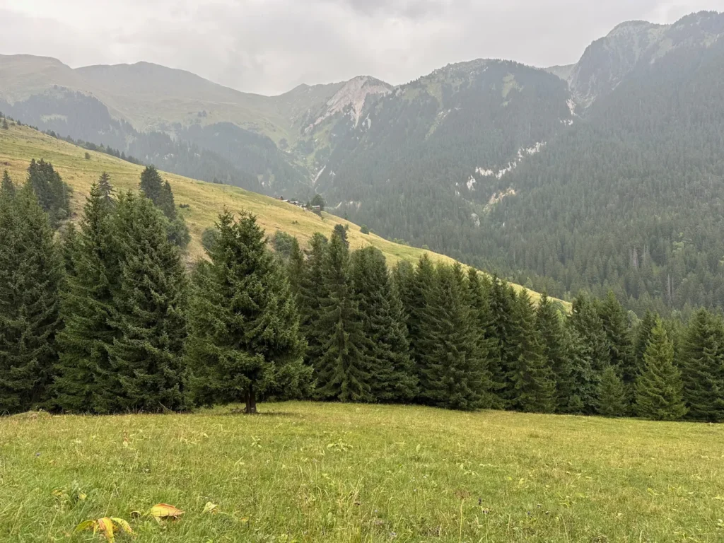
Above Bozel and Tincave, the Mont Jovet state forest looks calm and welcoming today. The trail runs through the spruces, skirts ravines and gradually reaches the high pastures. Yet behind this peaceful landscape lies a far more dramatic story.
This forest belongs to France’s Restauration des terrains en montagne programme — mountain land restoration, usually shortened to RTM. It was created to limit erosion on the slopes and help protect Bozel and neighbouring villages from torrential floods and mudflows.
To understand that mission, you have to go back to 16 July 1904, when the Bonrieu stream, swollen by a violent storm over Mont Jovet, turned into a powerful debris flow. Within minutes, part of Bozel was buried under mud, tree trunks and boulders.
This piece of local history makes a fascinating family outing. It opens up conversations about nature, mountain hazards, memory, forests and wildlife.
Family profiles: Discovery, Contemplative and Adventurous
| Season: Summer
| Area: Mont Jovet state forest, above Bozel
| Theme: Nature and local history
What does an RTM forest mean?
RTM stands for Restauration des terrains en montagne — mountain land restoration.
From the 19th century onwards, the French state undertook major works across the Alps to restore degraded slopes, reduce erosion and limit the damage caused by mountain torrents. These operations could combine:
- buying up fragile land;
- replanting the slopes;
- draining certain areas;
- stabilising ravines;
- building check dams across the streams;
- maintaining and monitoring the structures.
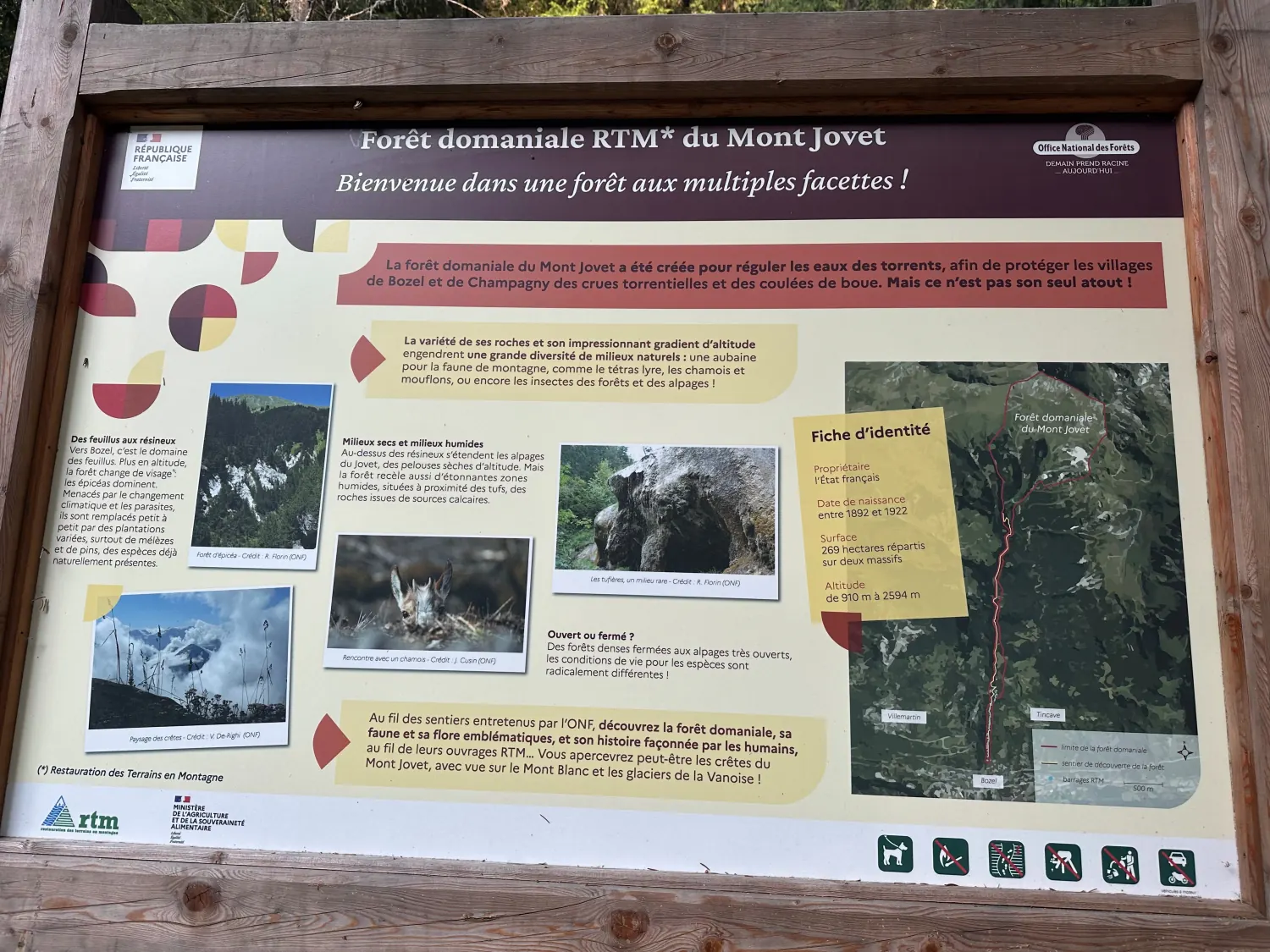
According to the board installed on site, the Mont Jovet RTM state forest was established between 1892 and 1922. Work therefore began before the 1904 disaster and continued long after it.
The management plan of the French Forestry Commission (ONF) records a managed area of 268.54 hectares, of which around 80 hectares are wooded. The rest is mostly high-altitude grassland, summer pastures, rock, scree and natural gullies. The on-site board rounds this up to 269 hectares spread over two massifs.
The forest spans a remarkable altitude range, from roughly 910 metres up to 2,594 metres. That amplitude explains the great variety of landscapes you walk through.
The Bonrieu, a stream closely tied to Bozel’s history
The Bonrieu flows down from the Mont Jovet massif, crosses Bozel and joins the Doron river.
Most of the time it looks like a fairly modest mountain stream. But its catchment is steep, cut into ground that erodes easily. During an intense storm, water can concentrate quickly in the ravines and carry away large volumes of soil, wood and rock.
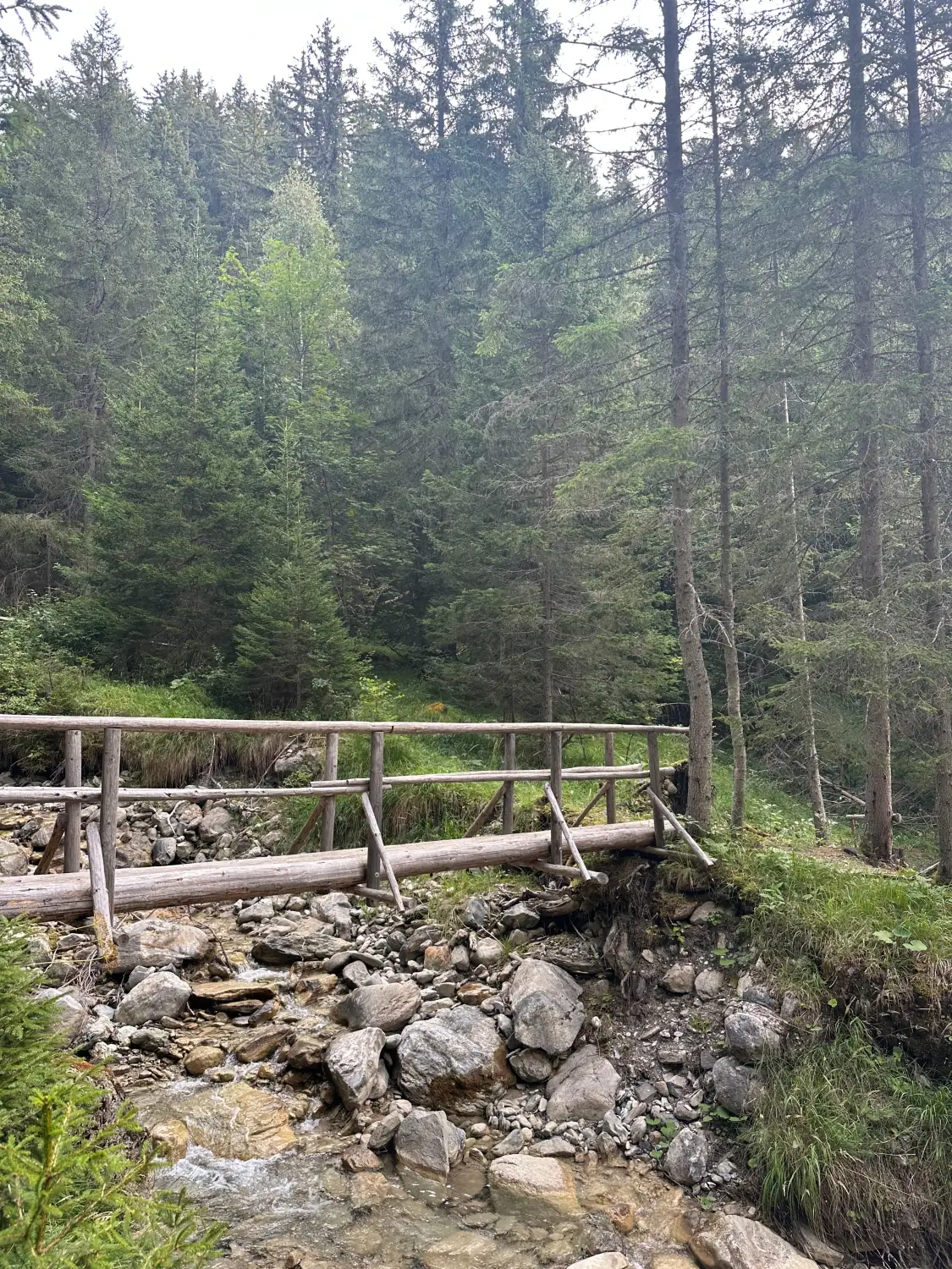
Municipal archives record several historic floods, with major episodes in 1270, 1630, 1666, 1743, 1834 and 1837. Some of them broke dikes, flooded homes or threatened the church.
But the event that left the deepest mark on Bozel’s memory remains that of 1904.
16 July 1904: the day the Bonrieu destroyed Bozel
On Saturday 16 July 1904, between 7 and 9 pm, a violent storm broke over the Mont Jovet area.
High in the catchment, the water tore material from the slopes. Some of it settled temporarily below the hamlet of Le Praz. Further down, the water picked up speed again and loaded itself with mud, tree trunks and boulders.
The Bonrieu turned into a debris flow — in French, a lave torrentielle, literally a “torrential lava”.
The expression has nothing to do with volcanoes. A debris flow is a very dense mixture of water and solid material. It can carry mud, stones, trees and very large blocks. Its destructive force is usually far greater than that of a simple rise in water level.
Within minutes, the flow swept away or blocked the bridges, tore open houses and buried the streets, gardens and fields of Bozel.
| Lives lost | 11 people |
|---|---|
| Houses destroyed | More than 20 |
| Bridges ruined | 3 |
| Buildings affected | Church, Hôpital des Alpes, barns and mills |
| Material carried | Mud, tree trunks, soil and boulders |
Mud entered the church to a depth of about one metre. Part of the Hôpital des Alpes, along with barns and mills, was flattened. Eleven residents, caught inside their homes, lost their lives.
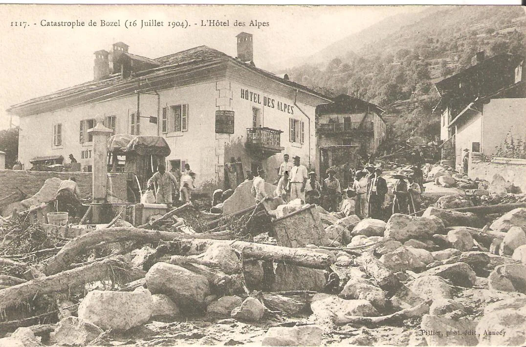
The next day the village was unrecognisable. Soldiers were sent in to help clear the debris, and a law of 29 December 1904 released an exceptional credit of 50,000 francs to help the victims.
How does a stream turn into a debris flow?
During a heavy storm, several processes can happen almost simultaneously.
Water runs off very fast
On a steep slope, water races down towards the ravines. When the ground is already saturated or poorly permeable, much of the rainfall stays on the surface.
Material is torn loose
The flow carries away soil, sand, stones and sometimes whole trees. The steeper the slope, the greater its transport capacity.
Log jams can form
Trunks and blocks can pile up against a bridge or in a narrow passage, forming a temporary natural dam.
The natural dam can fail suddenly
When the jam gives way, the water and material behind it are released as a very powerful wave. It is this combination of water, mud, wood and rock that makes torrential floods so dangerous.
The phenomenon can be sudden and leave little time to react. That is why you should never stay in a stream bed or near a ravine when a storm threatens in the mountains.
After 1904: check dams, dikes and reforestation
The disaster accelerated the corrective works on the Bonrieu.
According to the hazard indexation plan drawn up by the Savoie RTM service, 34 check dams were built between 1906 and the 1930s, at altitudes between roughly 900 and 1,200 metres.
These are not large dams built to generate electricity. They are set across the stream in order to:
- stabilise its profile;
- reduce erosion of the bed and banks;
- limit the loosening of large blocks;
- slow down the transport of material;
- encourage it to settle before reaching Bozel.
The Bonrieu was also embanked where it crosses the village, and reforestation and drainage works were carried out across the catchment.
The RTM document adds an important nuance, however: the lower check dams are considered very effective at stabilising the stream and reducing the risk of large blocks being mobilised. Reforestation and drainage, by contrast, are of more limited effectiveness on certain erodible zones higher up.
The forest therefore plays a useful role, but it should not be presented as sufficient protection on its own. Safety rests on the combination of forest, engineered structures, maintenance and awareness of the hazard.
The Bonrieu kept sounding warnings
Other events affected the area after 1904.
On 23 August 1932, a new debris flow formed in the weathered ground of the Jovet stream catchment. The material settled partly on the Perrières flat and at the check dams upstream of Bozel.
On 15 May 1936, a sudden snowmelt on Mont Jovet caused the Bonrieu to rise sharply. A section of dike collapsed, but rapid works finally prevented the town from flooding.
On 16 May 1980, a landslide in the Touvière area triggered a mudflow down to the Doron and carried away part of the forest road linking Tincave to Mirabozon.
These events are a reminder that the mountain keeps evolving, even when the landscape looks settled.
A forest that changes completely with altitude
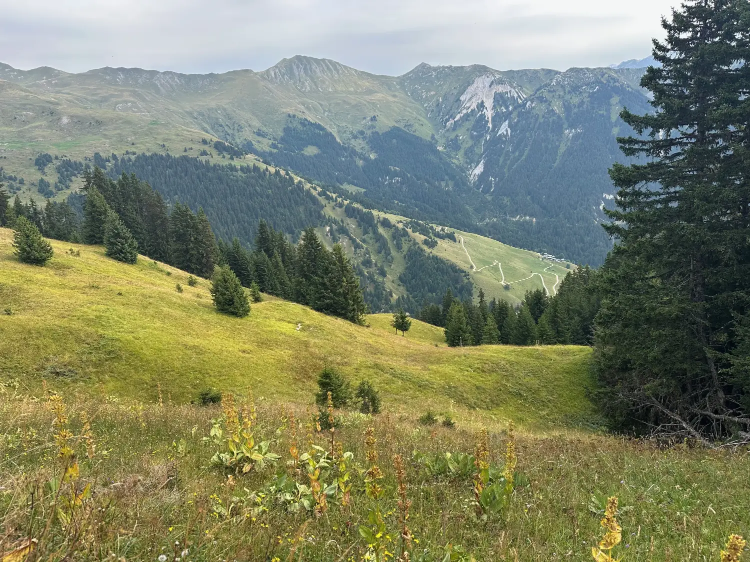
The Mont Jovet state forest crosses several vegetation belts.
Close to the valley
In the lowest sections, broadleaved trees are more present. The climate is milder and the soils differ from those higher up.
Spruce country
As you climb, spruce becomes largely dominant. The ONF plan indicates that it accounts for around 91% of the wooded area, ahead of larch, Scots pine, mountain pine and a few broadleaved species.
The high pastures
Higher still, the forest thins out and gives way to alpine grassland and summer pasture. In summer these areas are grazed by herds.
Ridges and rocky ground
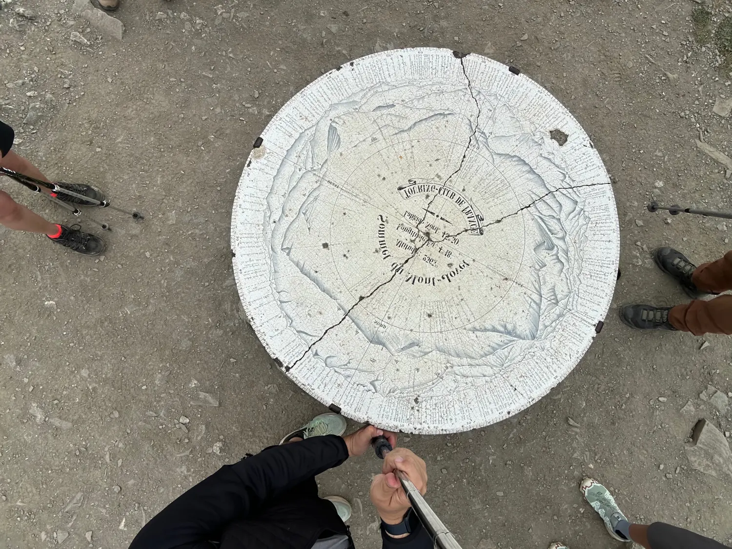
Above the forest limit the landscape turns mineral. Rock, scree and ridges take over. The summit of Mont Jovet reaches about 2,558 metres, while the Roc du Bécoin tops out at 2,594 metres.
This variety makes the area a great place to explain to children why trees, plants and landscapes change with altitude.
Which animals can you really see around Tincave?
The Forestry Commission board describes the Mont Jovet forest as “a boon for mountain wildlife” and mentions black grouse, chamois and mouflon among the species of the massif.
Those species do range across wide areas at altitude. But to stay faithful to what we actually observe, we will not present the chamois as an animal you can easily spot around Tincave.
In the forests we walk, our own sightings mainly involve:
- red deer stags;
- hinds;
- roe deer;
- wild boar.
Seeing an animal is never guaranteed. It is often easier to identify the traces they leave behind:
- prints in the mud;
- runs and small passages through the vegetation;
- soil turned over by wild boar;
- rubbed bark;
- hair caught on branches;
- droppings.
The best chances usually come early in the morning or late in the day, when the forest is quiet. Stay discreet, keep your distance and never chase an animal.
If watching wildlife is what draws you, we have written a full guide to spotting marmots around Bozel and in the Vanoise.
Three ways to explore the area as a family
The appeal of Mont Jovet is that you can match the outing to everyone’s level and mood.
For the contemplative family
The goal is not to reach the summit, but to take the time to look.
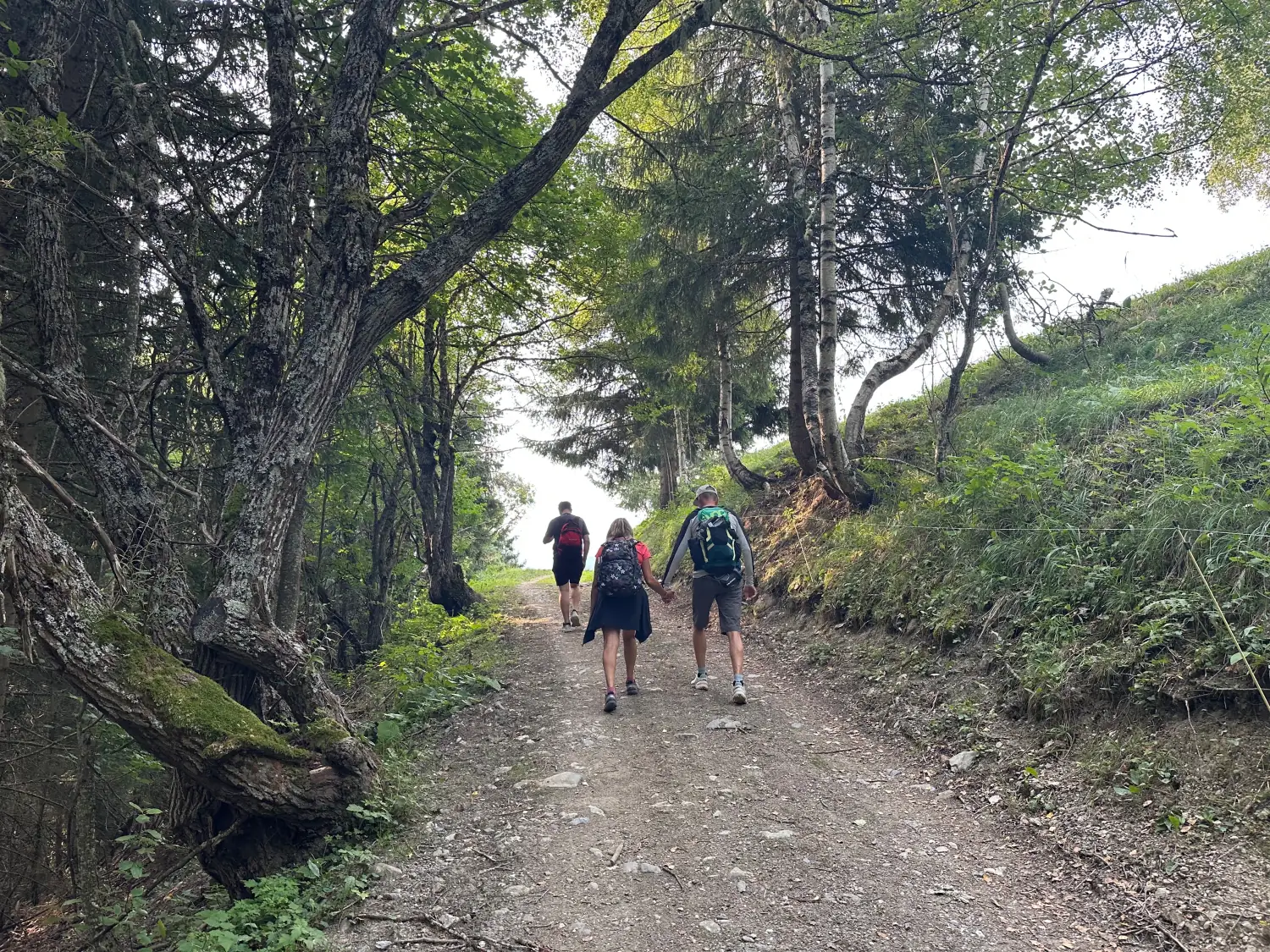
A contemplative outing can be built around reading the information board, a short walk in the forest and simply taking in the landscape. Children can listen to the stream, compare the trees and hunt for signs left by animals.
Choose a short, suitable route in advance: not every path on Mont Jovet is a gentle stroll.
For the discovery family
The outing can become a proper investigation into how the mountain works. A few mission ideas:
- work out what RTM stands for;
- explain a debris flow in your own words;
- recognise a spruce;
- find a deer or wild boar print;
- spot a structure built across a stream;
- compare the 1904 photograph with Bozel today.
The approach blends history, natural science and local memory without turning the walk into a school lesson.
For the adventurous family
Well-trained families can push on towards the hut, the summit or the ridges of Mont Jovet.
The official route from La Cour crosses the forest, reaches the high pastures and then the Mont Jovet hut. From there you can continue to the summit at 2,558 metres and follow the ridges towards the Pas des Brebis and the Roc du Bécoin.
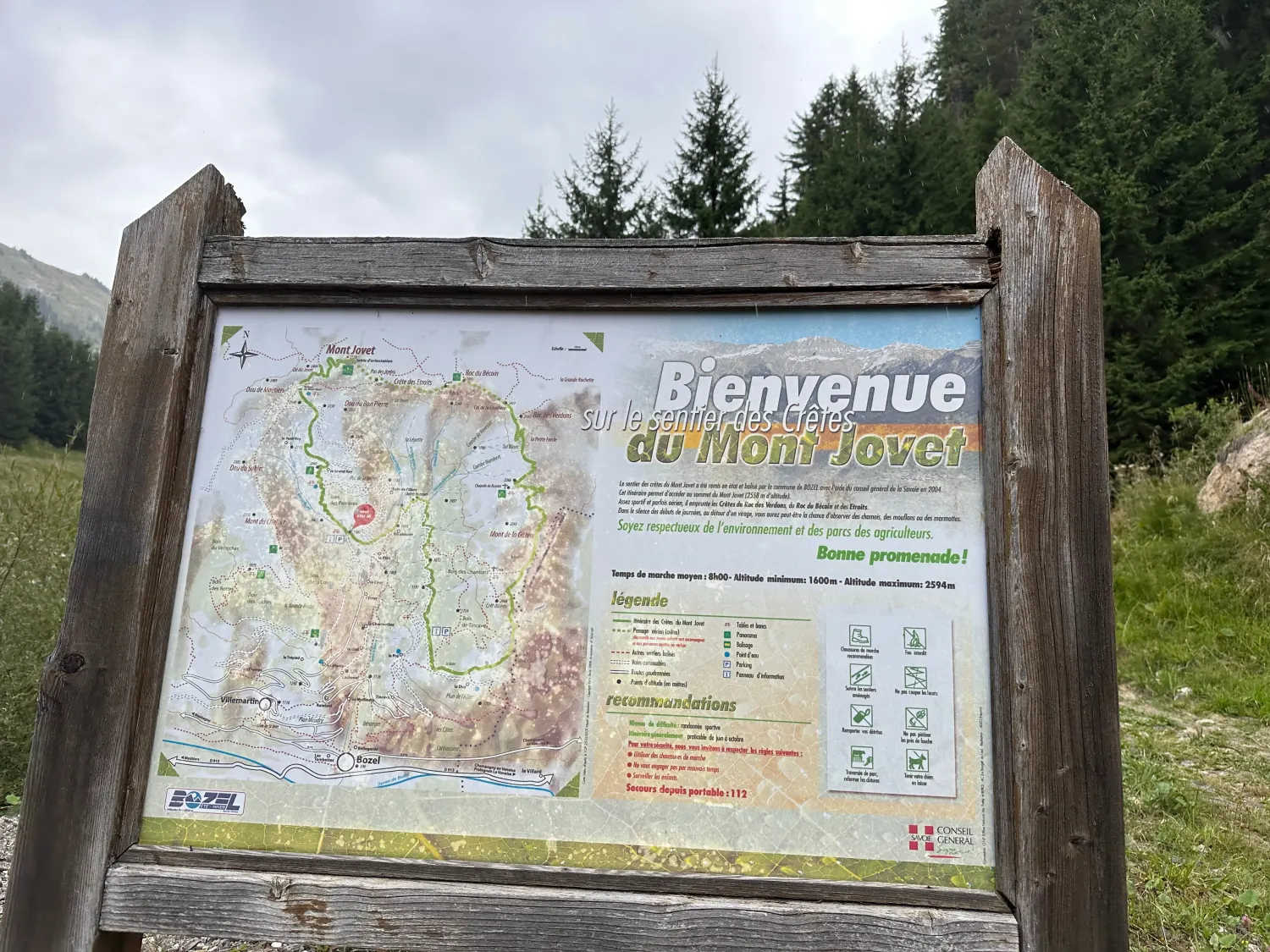
The same area can be reached from Tincave, but that makes for a long, demanding and at times exposed hike. It is not suitable for young children or for anyone uneasy with heights.
Before setting off, check the weather, snow conditions, the state of the paths and the tourist office’s information. If you are new to hiking with children, start instead with our beginner-friendly family trails around Bozel.
Matching the outing to the time you have
| Time available | What to do |
|---|---|
| An hour or two | Read the landscape and take a short forest walk |
| Half a day | Forest, animal tracks and the story of the Bonrieu |
| A full day | Climb towards the pastures or a viewpoint suited to your group |
| A sporty outing | Hut, summit or ridges, for experienced walkers |
We deliberately give no precise distances or walking times for this area: we will publish a detailed route sheet once we have walked and recorded it ourselves. In the meantime, rely on the tourist office’s route descriptions and an up-to-date map.
The Mont Jovet mountain hut and its history
The Mont Jovet hut has a long history of its own.
On 24 August 1889, the mayor of Bozel put a plan for a mountain hut on the Petit-Rey to the municipal council. The work was completed exactly one year later, on 24 August 1890.
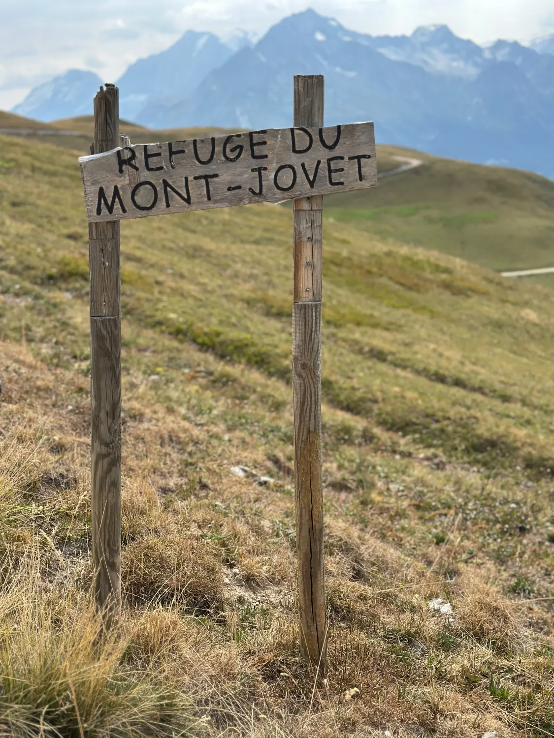
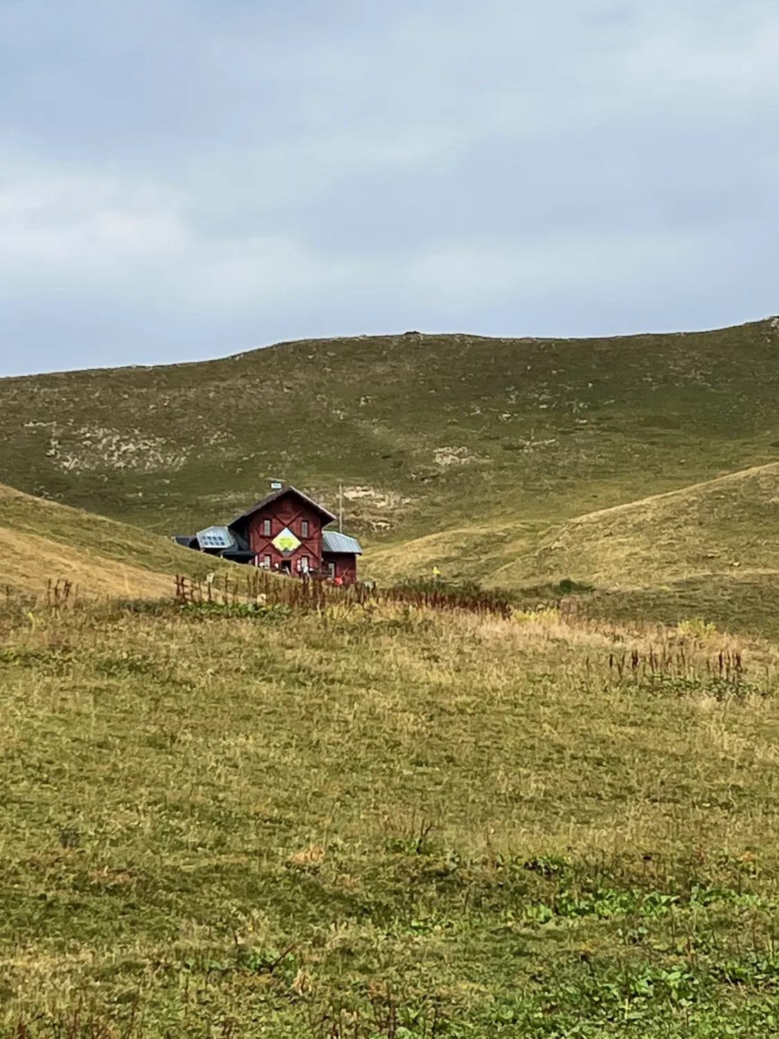
Today the hut is a popular objective for walkers. Opening dates, meals and overnight stays vary with the season, so check the official Mont Jovet hut website before you set off.
Our safety advice
Before any outing in this area:
- check the weather forecast;
- call it off if storms are forecast;
- never linger in a stream bed;
- choose the route for the youngest or least fit member of the group;
- bring water, sun protection, a warm layer and a jacket;
- wear proper footwear;
- stay on waymarked paths;
- respect the herds and close gates behind you;
- keep dogs under control;
- watch animals without approaching them.
In the mountains, turning back is not a failure. Some days it is the best decision you will make.
Why this story deserves telling
The Mont Jovet forest is more than a backdrop for a hike.
It tells the story of the relationship between local people and a mountain that is as beautiful as it is powerful. It recalls the disaster of 16 July 1904, the eleven lives lost, and more than a century of effort to protect Bozel.
It also lets you show children that forests, streams and dams all belong to the same landscape, each playing a different part.
Whether your family is contemplative, curious or adventurous, this discovery carries one simple message: the mountain deserves our admiration — and our respect.
Frequently asked questions
When did the Bozel disaster happen?
It happened during the evening of 16 July 1904. A violent storm over Mont Jovet turned the Bonrieu into a debris flow.
What was the toll of the 1904 disaster?
Eleven people lost their lives. More than twenty houses and three bridges were destroyed or ruined. The church, the Hôpital des Alpes, barns and mills were also hit.
What does RTM stand for?
RTM stands for Restauration des terrains en montagne, France’s mountain land restoration programme. It combines reforestation, drainage, torrent correction and the construction of protective structures.
How many check dams were built on the Bonrieu?
The RTM service document lists 34 check dams built between 1906 and the 1930s, mainly between 900 and 1,200 metres of altitude.
Can you explore Mont Jovet with children?
Yes, provided you pick a suitable walk. Short forest outings work well for families, but the hut, the summit and the ridges all demand a good level of walking fitness.
Which animals can you see around Tincave?
Our own sightings mainly involve red deer, hinds, roe deer and wild boar. Their presence never guarantees a sighting.
Can you walk to Mont Jovet from Tincave?
Yes, several routes reach the area from Tincave. The longer loops are demanding and should be planned with a map, good weather and up-to-date information.
Explore further
Find more of our family outing ideas around Bozel, Tincave and the Vanoise National Park:
- What to do in Bozel in summer: our complete guide
- Beginner hiking around Bozel: our family trails
- Spotting marmots around Bozel and in the Vanoise
- Galerie Hydraulica in Le Planay: a family visit
- What to do in Bozel when it rains
Main sources
- Bozel town hall — history of the commune and the 1904 disaster.
- Savoie RTM service — hazard indexation plan for the commune of Bozel, May 2011.
- French Forestry Commission (ONF) — management plan for the Mont Jovet RTM state forest.
- Bozel Valley tourist office — Mont Jovet ridge path.
- Mont Jovet hut — official history of the hut.
- Wikimedia Commons — postcard of Bozel after the disaster, public domain.
Last documentary check: August 2026. Practical details (hut opening, trail conditions) change over time — check them with official sources before you set off.